Topographic Survey
Terrain Clarity
Clear, detailed terrain models
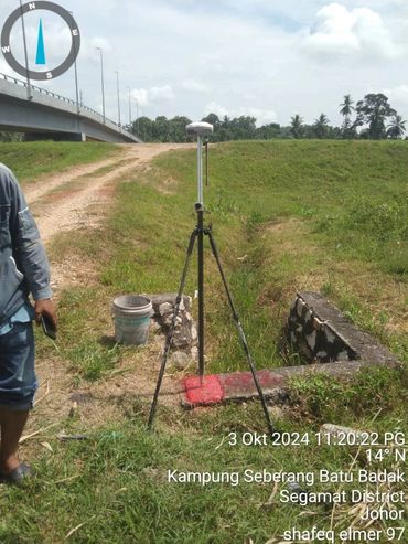
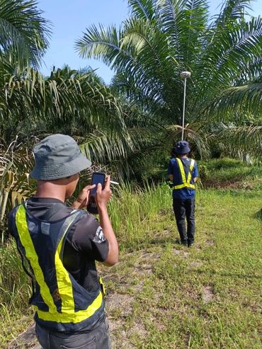
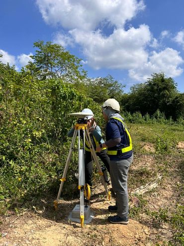
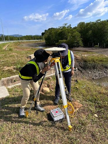
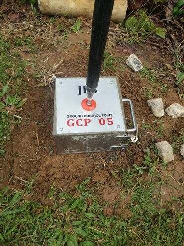
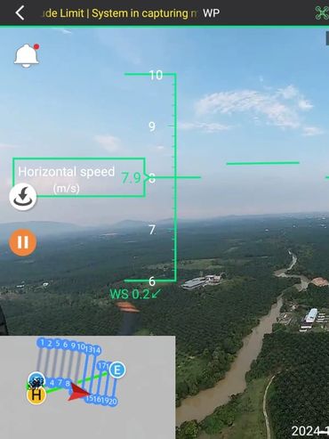
Topographic Survey services provide precise and comprehensive mapping of the Earth’s surface, capturing both natural features and man-made structures in high detail. Utilizing a combination of advanced LiDAR, drone, and conventional survey techniques, we produce accurate 3D models, contour maps, and elevation data that form the foundation for engineering design, infrastructure development, and construction planning. Our surveys are designed to deliver clarity and reliability, helping clients fully understand the terrain before any project begins.
In addition to raw data collection, we offer detailed mapping outputs that can be integrated into planning, design, and GIS platforms. Our topographic survey products support road alignment, land development, utility planning, and environmental management by providing precise measurements and visual representations of terrain features. By combining technology, expertise, and rigorous quality control, we ensure every survey equips clients with the confidence to plan, design, and execute projects efficiently and safely.
Work In Progress
Contact Us
Information
What We Do
No. B-3A-3(R8), Blok B, Plaza Glomac,
Jalan SS7/19, Kelana Jaya,
47301 Petaling Jaya, Selangor,
Malaysia.
📍 3°05'59"N 101°35'27"E
T: +6 019 3884501
Information
Information
Information
© 2026 Aerial GeoSystem Sdn Bhd. All rights reserved.
This website uses cookies.
We use cookies to analyze website traffic and optimize your website experience. By accepting our use of cookies, your data will be aggregated with all other user data.