Bathymetric Survey
Depth Precision
Accurate underwater mapping
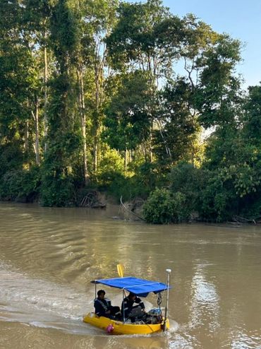
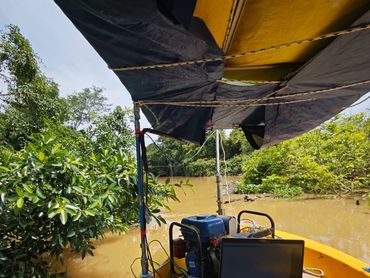
Bathymetric Survey services from AGS deliver precise mapping of underwater terrains, capturing the depth and shape of rivers, lakes, coastal areas, and other water bodies. Using advanced sonar and LiDAR-based bathymetric technologies, we generate accurate 3D models of the seafloor and subaqueous features, providing essential data for navigation, dredging, coastal development, and environmental monitoring. Our surveys enable clients to visualize submerged landscapes with clarity, ensuring safe and informed planning for marine and civil engineering projects.
Beyond data collection, we produce high-quality outputs including depth charts, contour maps, and digital elevation models tailored for hydrological analysis and marine design. Our bathymetric services support flood risk assessment, harbor management, pipeline routing, and ecological studies by delivering reliable and precise information about underwater conditions. With meticulous processing and professional interpretation, our surveys give clients confidence to make well-informed decisions for water-based infrastructure and environmental projects.
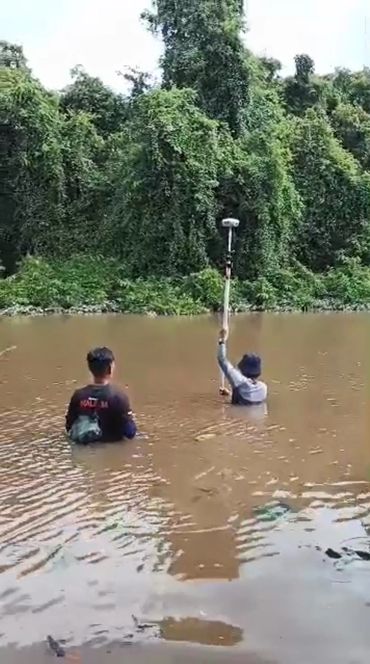
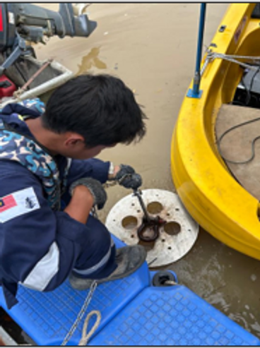
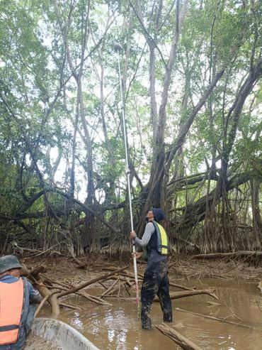
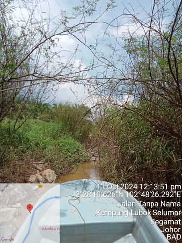
Work In Progress
Contact Us
Information
What We Do
No. B-3A-3(R8), Blok B, Plaza Glomac,
Jalan SS7/19, Kelana Jaya,
47301 Petaling Jaya, Selangor,
Malaysia.
📍 3°05'59"N 101°35'27"E
T: +6 019 3884501
Information
Information
Information
© 2026 Aerial GeoSystem Sdn Bhd. All rights reserved.
This website uses cookies.
We use cookies to analyze website traffic and optimize your website experience. By accepting our use of cookies, your data will be aggregated with all other user data.