Hazard And Risk Map Analysis
Risk Insight
Clear understanding of hazards and risk
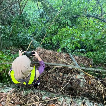
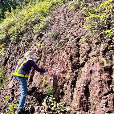
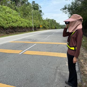
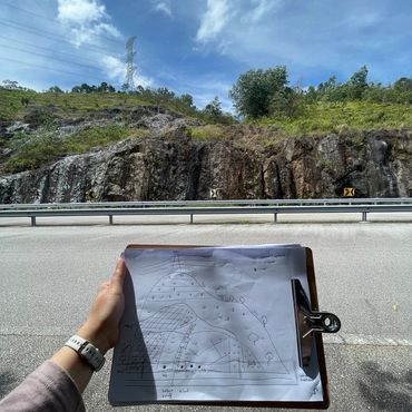
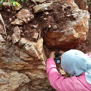
Hazard and Risk Map Analysis provide in-depth evaluation of slopes and surrounding terrain to identify potential instability and geohazard threats. By integrating LiDAR data, aerial orthophotos, geotechnical field data collection, topographic models, and geospatial analytics, we produce detailed maps that highlight areas susceptible to landslides, erosion, and other slope-related risks. These insights allow engineers, planners, and developers to anticipate hazards early, minimize project delays, and safeguard both people and infrastructure.
Our analysis goes beyond identification, offering clear visualizations and interpretive reports that quantify risk levels and suggest mitigation strategies. Whether it’s for highway corridors, residential developments, or industrial sites, our hazard and risk maps guide informed decision-making, support regulatory compliance, and enhance the overall resilience of your projects. With precise mapping and expert interpretation, clients gain the confidence to plan, design, and implement solutions that reduce vulnerability and optimize safety on challenging terrain.
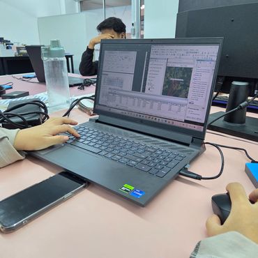
Work In Progress
Contact Us
Information
What We Do
No. B-3A-3(R8), Blok B, Plaza Glomac,
Jalan SS7/19, Kelana Jaya,
47301 Petaling Jaya, Selangor,
Malaysia.
📍 3°05'59"N 101°35'27"E
T: +6 019 3884501
Information
Information
Information
© 2026 Aerial GeoSystem Sdn Bhd. All rights reserved.
This website uses cookies.
We use cookies to analyze website traffic and optimize your website experience. By accepting our use of cookies, your data will be aggregated with all other user data.